For the 2nd year in a row, I coerced my family to participate in a Parks & Recreation ice fishing event on MLK Day. It coincides with the Minnesota DNR’s annual free family ice fishing weekend. The Fridley Parks & Recreation event was hosted by Fishing for All. For $5 I don’t think you can beat it.
While I do enjoy fishing, ice fishing has never been my jam. But this was so fun and easy that it even made me think twice about getting some ice fishing gear…
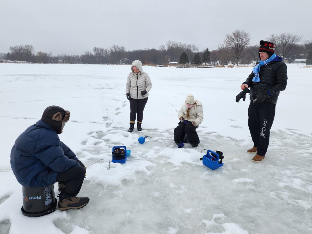
Since the free fishing weekend coincides with MLK day, many people are already off of work. I signed up for the early afternoon session and walked with the family down to Moore Lake during my lunch hour. The guides were super knowledgeable, and they had everything set up and ready to – including bait! 🪱
They talked about ice safety and showed the depth of the ice (over 20″ this and last year) – my 9yo daughter was especially concerned about this. The guide had half a dozen holes already augered, with a 5-gallon pail to sit on and Vexilar sonar rigs ready to go. They supplied the ice fishing rods and even had bait ready to drop in. Both times we’ve gone, everyone caught at least one fish.
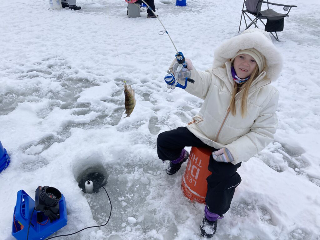
2022 Catches
In 2022 all of our catches were small perch.
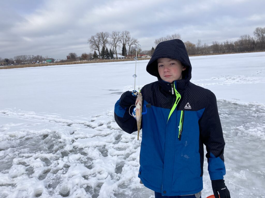
Marlo became the media darling of Fridley as her picture was featured in both the Fridley newsletter and the Parks & Rec catalog.
No aerator for 2023
For this year, there’s sort of an interesting experiment taking place. Moore Lake Park is being renovated in 2023. Part of the renovation includes the removal of a building that houses the aeration pump, so it’s not being run during the 2022-2023 winter season.
While the aeration system was installed to prevent winterkill, the real risk of winter fish kill is on the west side of the lake, where the water is extremely shallow. The aeration, which was intended for good, also has negative consequences. Like leaving a hole in the ice which tempts waterfowl to stay for the winter, rather than migrating south. Whatever the case is, I’m glad it’s being tried, and eager to see what the result is in the spring.
2023 Catches
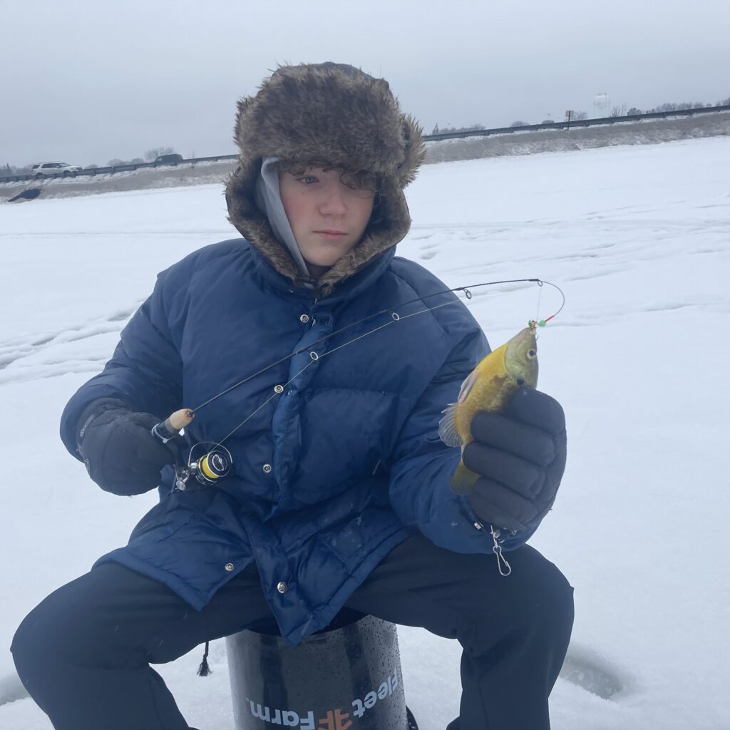
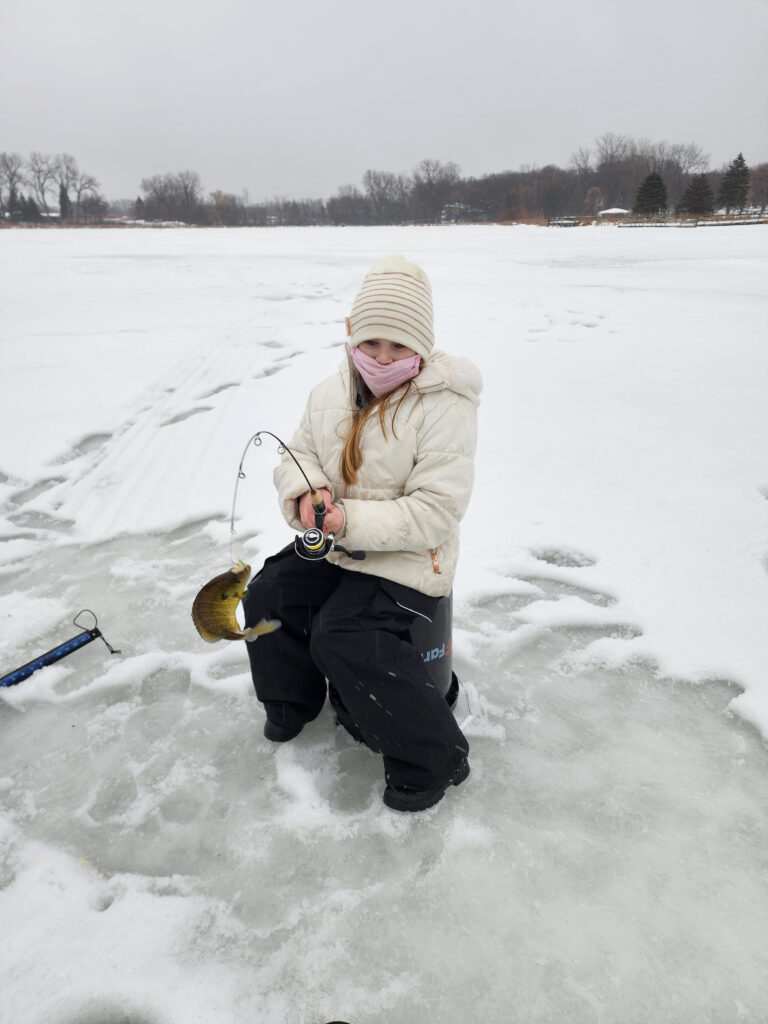
Since the aerator wasn’t running, we were able to fish the spot that would normally be a hole in the ice.
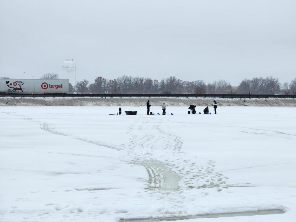
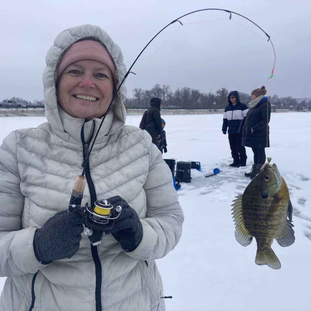
Quickly after the guide refreshed us on using the ice fishing sonar, we started getting bites. He exclaimed “Fish on!” as we were all getting some action. This year it was nothing but fat sunfish, which was fun. Everyone caught at least one fish. Check out Jessi’s Blue Gill Sunfish, what a beauty! 🐟
10/10 Would Fish Again
Like I said, this event makes it so fun and easy that I considered getting ice fishing gear. But for $5, I could bring the entire family a dozen times to this event before I equal the cost of the sonar setup. Not to mention the ice auger, the sled, the ice fishing rod, etc. But it makes me think about it! Next year I might bring my Sonarphone T-Pod and see how it compares to the Vexilar ice-ducer. Or maybe I’ll look at something like the Deeper Sonar Pro+ 2 which has a ice-ducer like display on their app (and can be used in the summer too).
I’m still happy to talk down to the lake with the family once a year on my lunch break. We’re guaranteed a catch 🎣
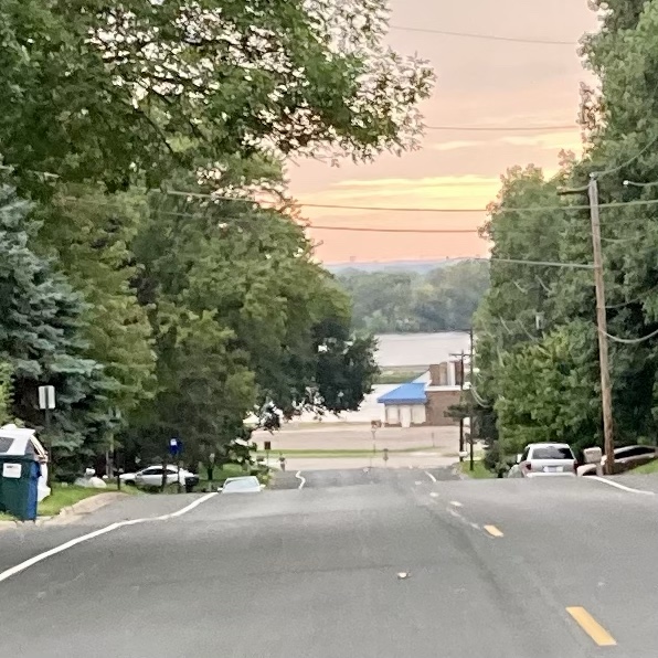
When we moved back to Minnesota and started looking at houses before Jules was born, my realtor took us to a house in Fridley. I was dead against the place before we even arrived because I had mentally determined it was too close to my parents house.
I don’t know if our realtor did this on purpose or not, but he approached the house from the east (a route I wouldn’t have chosen), which showed that just down the hill is a lake.
There’s something in my lizard-brain that made me not hate the house because of its proximity to the lake and to my parents (for childcare reasons). I swallowed my pride and we bought it.
I wound up buying my parent’s canoe in hopes we’d launch on the lake nearby, but canoeing is an activity that is better with at least two people. Convincing my family to go was rare 🛶 So we sold the canoe and got two kayaks from Menards.
Those kayaks were fine, but eventually I wanted one with a couple of extra fishing features, without going to a full fishing kayak – because sometimes I like to just paddle around and sometimes I want to fish.
Finally the price listed was “view price in cart” so I did and checked out, saving almost $200 off the regular price.
How is it?
Construction, like the Swifty, is very sturdy. The handles are molded into the boat so they’re indestructible. For car transportation, I’d normally use the handle eyelets to run an extra strap to the rear hitch. The handles are too big for my normal strap hooks. I’ll have to add some rope or something. Bringing it home from the store was unnerving because the van has no sunroof and normally the handle strapping is what lets me know the kayak is still up there.
What I sort of forgot was that to equip fishing rod holders, I’d be investing another $100 in ram mount equipment. If you just want a couple of holes to drop your rod into, the Swifty and Mustang options are good choices.
The boat itself is great. It tracks very nicely. Strangely there’s no drain plug like on my cheapo Menards rig, so when the cockpit gets rain inside, it can be tricky to dump. I got a huge car wash sponge from Walmart to assist. I’ll likely buy a cockpit cover to keep water out during storage.
The back compartment is completely sealed from the cockpit, which is nice. In my old kayak any water inside the boat was going to get to the back too.
New Paddle Too
Like the kayak itself, I over-analyzed what to get. Deciding on length seemed to be the hang-up. I found this Paddling.com article to be helpful.
But there are several ways to measure. My torso is 30.5″ which calls for 210-230cm. My height is 5’10” and the boat is 29.5″ wide which calls for a 240cm paddle.
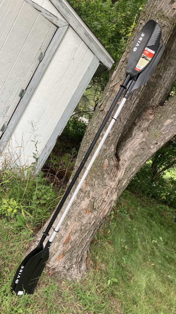
Having spent too much money at Dick’s on the kayak, I had a $20 reward to put towards a paddle. The Vibe Journey Paddle is the one that is in stock at every store, and it was on sale for $37 so I could get it for less than $20 with my reward. But it only comes in 230cm 🤔
Ultimately it didn’t matter because compared to the hardware store paddle I had, it was larger. 😎
On the water
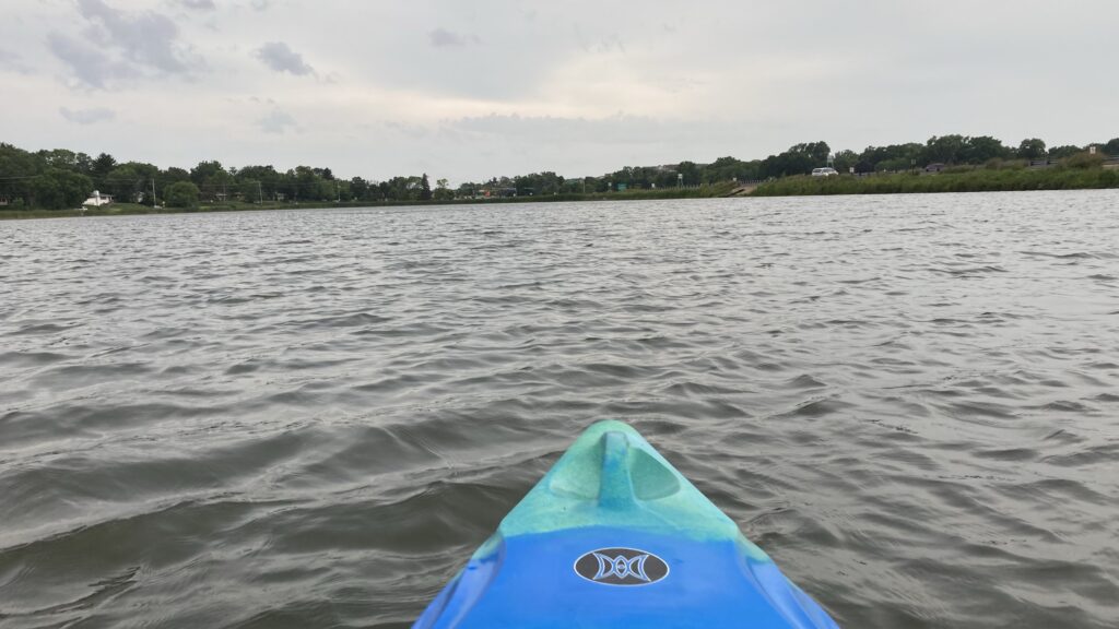
On the lake it tracks very nicely. Not that the Menards one was bad, but this is clearly a step up. It’s got a nice place to hold my phone (put it in a dry bag!) and a water bottle, plus an indent to rest the paddle.
The problem that I have is not with the kayak, it’s with my nearest waterbody. I wish is that Moore Lake wasn’t bisected by a state highway 😞 It’s so easy to go down there, but it’s not as relaxing as it could be. The noise from the cars nearby is unrelenting. It’s especially bad if you want to go for a quick paddle after work, when everyone is battling their way through rush hour.
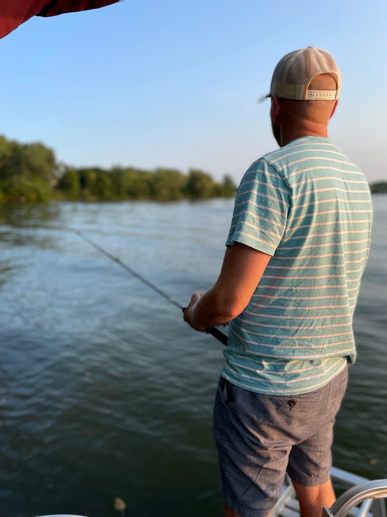
My wife bought a pontoon this summer and while I’m not an avid angler, it has given us more opportunities to go fishing. If you’re out on the lake, why not drop a line in? 🎣
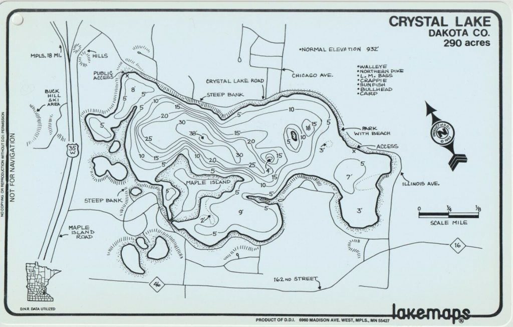
I’m normally one of those guys that buys the waterproof lake map to keep in the boat:
These Minnesota-made lakemaps are no longer produced and considered “vintage” – but you can still get them at bait shops around the state. What about something a little more high tech, but not too expensive? I went to eBay looking for an old multi-mode Garmin GPS and got a nüvi 500 that has modes for driving, hiking, biking and boating.
Knowing that it was pretty easy to load Open Street Maps onto my handheld Garmin eTrex Vista HCx, I assumed I could do the same thing with the nüvi 500… Yes and no. You can do it, but it’s not easy.
Sea vs. Lake
The first thing to understand is commercial and free maps such as Garmin Bluechart and Open Sea Map are for ocean-going. The only lakes they cover are the Great Lakes and some very popular inland waters, such as the Boundary Waters. Loading those maps will allow the nuvi to switch to “Boat Mode” (you must have a nautical map loaded to switch), but they won’t have any info about your local lake. Also, the older Garmin Inland Lakes maps that used to work for this unit is no longer available. Planned obsolescence is an art, not a science 😩
Boat Mode
I found Jeff Jahr’s boatmode.img file which is an empty map with the nautical flag set that allows me to choose “Boating” as the mode. The file needs to be renamed to gmapsupp.img and placed in a garmin folder either on a microSD card (inserted near the battery) or on the device’s internal memory.
But you can really only have one or two gmapsupp.img files on the device (one in internal memory and one on the SD card). How can I add more map data? It turns out these img files act as containers and can contain many maps 💪 Here’s how I put them together
The Process
To put these together I used a Windows computer. All of the software shown here is available for MacOS as well. It is probably possible in Linux, but I don’t (yet) know how to do the GPX to IMG conversion. If you have Linux tips, share them in the comments.
Download Lake Contours
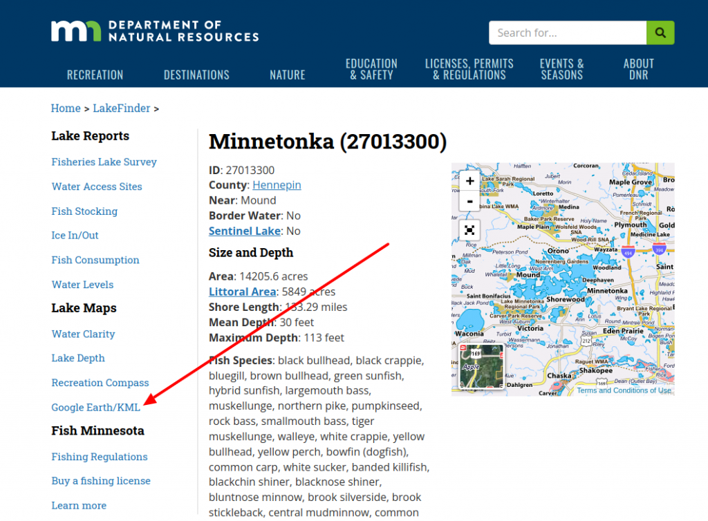
I get the lake depth contours from the MN DNR “Lake Finder” – just search for the lake you frequent and click the “Google Earth / KML” link in the sidebar.
That will download a lake.kml file. I always rename them to lake-name.kml (lake-minnetonka.kml in this case) and put them in a folder with the lake name, because we’ll be repeating this process and adding more files later.
Convert KML to GPX
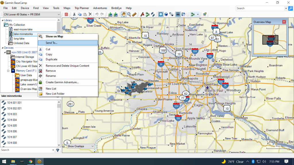
Use Garmin’s free BaseCamp program to import the KML data into “My Collection.” With BaseCamp installed and started, drag and drop the lake kml file into the “My Collection” folder in BaseCamp.
I like to use BaseCamp because it keeps the contour depth labels when converting to GPX. The downside is it wants to copy those GPX files to your GPS device, so you need to have your GPS plugged in during the conversion.
Select your imported KML lake under “My Collection”, right-click and select “Send To…”
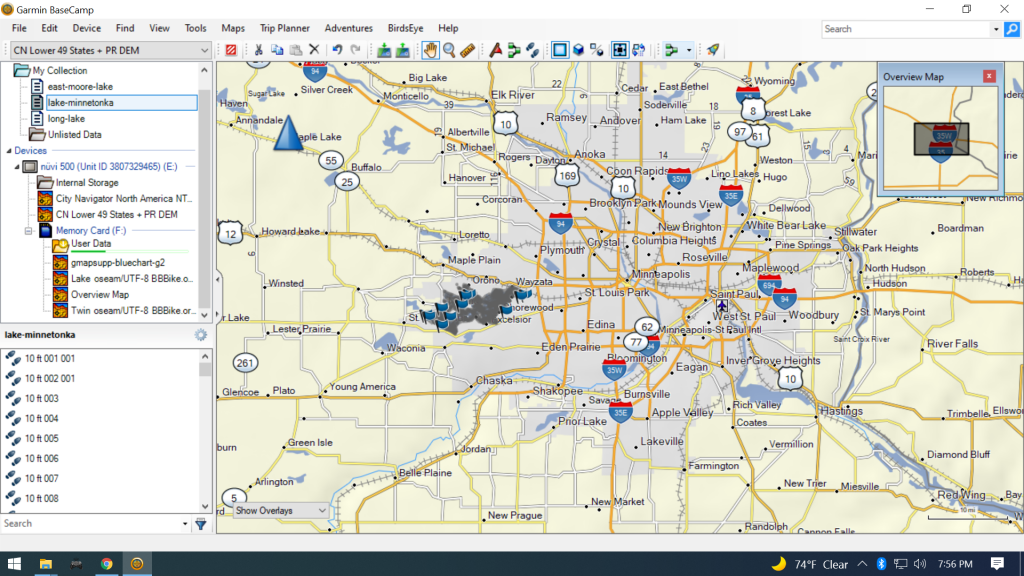
Choose your GPS’s memory card “User Data” folder and the conversion will start. There will be a progress bar under “User Data” while it’s working.
All of the lake depth GPX files will be on your GPS’s memory card in the Garmin -> GPX folder. I move those files back into the lake folder I created earlier for my KML file.
Alternative:
gpsbabel is a cross platform (Windows/MacOS/Linux) program to convert the KML files to GPX, but I couldn’t figure out how to retain the track labels (5ft, 10ft, 15ft, etc.) during conversion. If you know how, let me know in the comments!
Create IMG from GPX
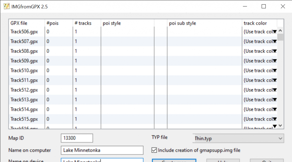
I installed IMGfromGPX (Windows & MacOS only) to turn the lake contour tracks into a map. With IMGfromGPX started, drag the GPX files created by BaseCamp from your lake folder into the main IMGfromGPX window:
I set the Map ID to the last 4 or 5 digits of the Lake ID on the MN DNR site – just in case they need to be unique. Set the computer/device names to the lake name – that name is what shows up in the “Map Info” screen on your Garmin. For TYP file select “Thin.typ” to keep the contour lines thin. I don’t mess with track color since the default has been fine.
Check “Include creation of gmapsupp.img file” and then push the “Create map” button. It will prompt where to save your data – choose your lake folder. Ignore any prompts to run registry files – we’re not using these maps with MapSource or other mapping software on the computer.
Linux Only:
I think that mkgmap can turn GPX files into a Garmin IMG file. If you know how to do it, let me know in the comments.
Combine multiple IMG files
Repeat these steps for whatever lakes you frequent:
Download Lake Contours
Convert KML to GPX
Create IMG from GPX
Once you’ve got a few, we’ll combine them into one IMG file map using mkgmap. To install mkgmap, I unzipped the mkgmap folder in C:\Program Files\mkgmap-r4807. If you installed yours in a different place, your command for combining them will look a little different – just replace C:\Program Files\mkgmap-r4807\mkgmap.jar with the path to where you installed it.
Since my individual lake folders were all in my Documents\Garmin\Lake KML folder, my command to combine them looked like this:
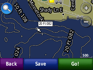
Once they’re combined, you can copy the master gmapsupp.img file to the garmin folder on your microSD card, or directly to the garmin folder on your GPS’s internal memory. When you restart it, you should now have contour lines on the lakes you added:
Conclusion
Yes this process is a bit tedious, but it might give life to an old device that would otherwise get tossed out. I’m not sure if I’ll stick with this unit or not. It’s got some other quirks too – I immediately noticed the clock was wrong as part of some bizarro Y2K for GPSes problem that happened in April 2019.
If I try something different, I’ll probably get a Navionics subscription next summer @ $15/year and use my phone. But if I do ditch this GPS, hopefully this information will be useful for the next owner ♻️
I am not a gun nut, but this build was inspired by this comic and conversation:
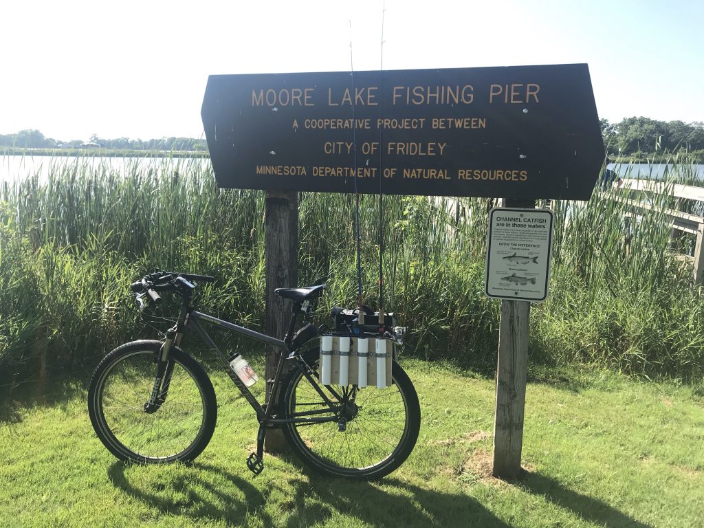
Looking at it made me think that a similar, but more useful application of vertical bike rack storage, would be for fishing rods. Moore Lake is just down the hill from where I live, and it’s stocked with Bluegills and Bass 🎣
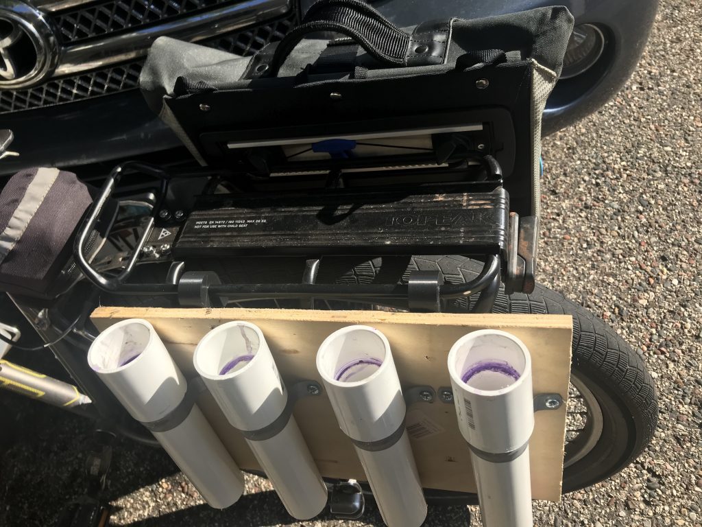
I made this fishing rod holder that attaches to my bike rack for less than $20, mostly from scraps I had in the garage. It holds four rods, but you could adjust it for as many as you’d like, as long as your bike rack setup will accommodate them.
I chose 1-1/4″ PVC because all of our rod handles will fit into that size pipe – you should test fit your thickest fishing rod before you buy.
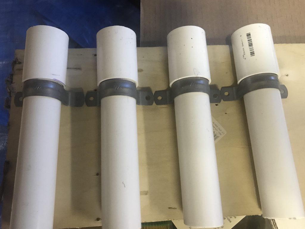
I attached a PVC coupling to the pipe and then cut the pipe (with the coupling attached) using a hacksaw to 9 inches. This was both the size of my scrap wood and the size of the longest rod handle. You should go longer if your handles are longer than 9 inches.
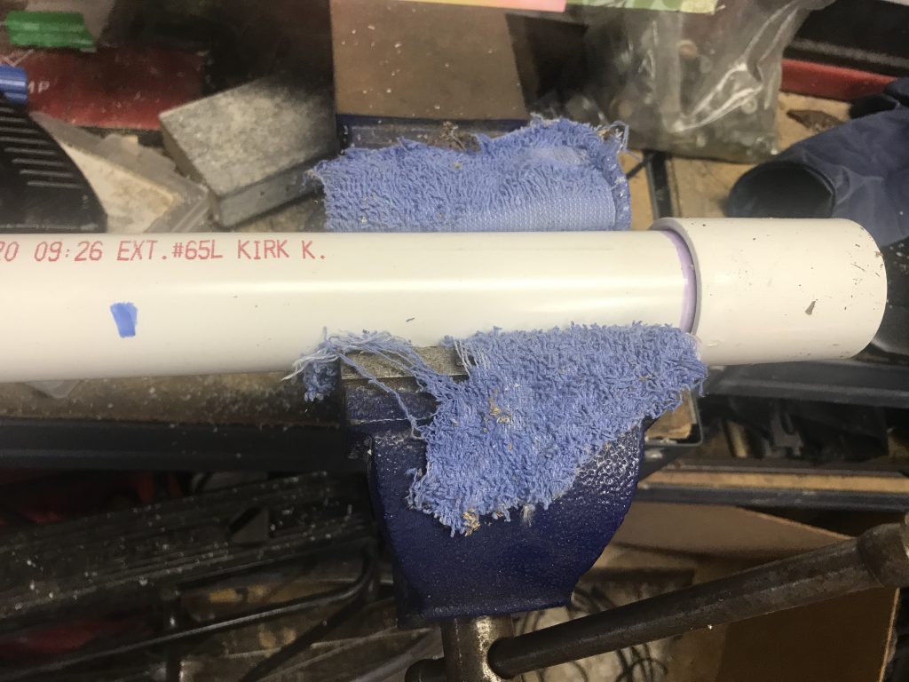
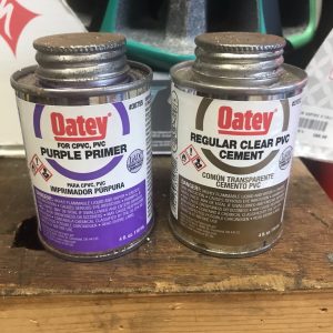
To make a permanent connection, I used PVC primer and cement to bond the couplers to the pipes.
The couplers are there to serve as stops for the tubing straps – so they don’t fall through them.
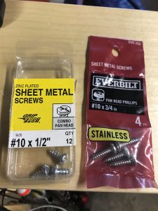
To fasten the tube straps to the board I used #10 x 1/2″ sheet metal screws. I pre-drilled holes in the wood with a 1/8″ drill bit, then used a screwdriver on the screws.
I designed 3D printed hangers because I couldn’t find any readily available hooks that I liked at the hardware store. I like Topeak racks because of how their bag systems attach. I designed the hangars to conform to the Topeak’s 10mm rod construction – which I believe is a standard size for many bike racks.
To fasten the hangers to the board, I used #10 x 3/4″ sheet metal screws.
Backing and Hangars
The board I used was some leftover 1/2″ plywood. Mine was 9″ wide so I went with that – luckily that’s how long our rod handles are. You can cut the width to however many rods you want to hold. For my 4 rod holders it wound up being 15″x9″.
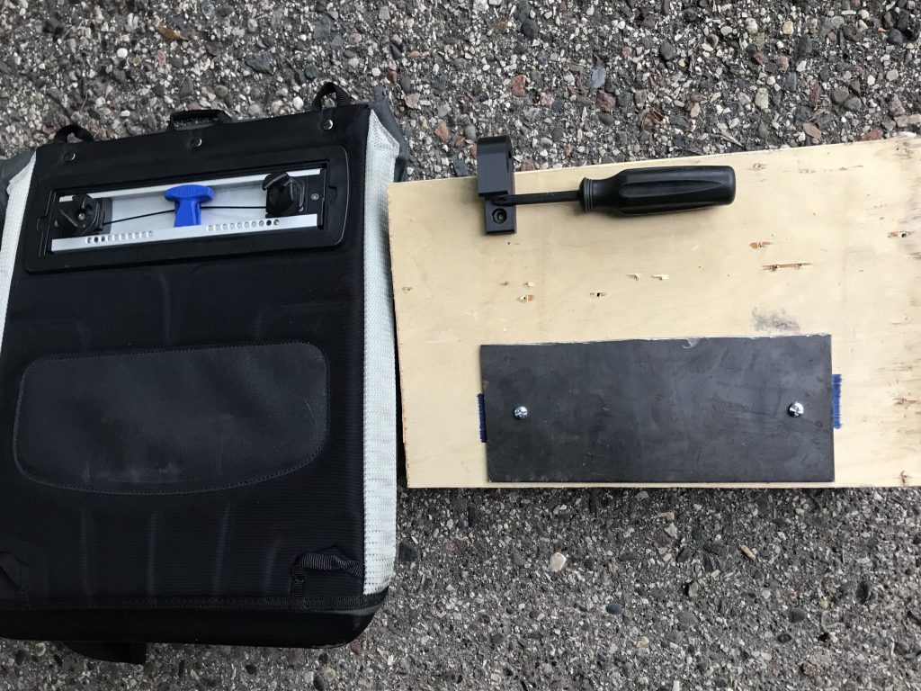
To make sure everything lines up well on the back, I used my Thule panniers as an example. The metal plate that sticks to the magnet is approximately 9″x4″ – so I cut a piece of sheet metal that size. You can use a hacksaw to (slowly) cut it. I used a cutting wheel to make quick work.
I also used the Thule pannier as a reference to gauge the placement of the metal backing position relative to the hangers so they’d be generally in the right place. It will ensure the steel plate is the right place so it will line up with the rack magnet without having to move it around on the rack.
I used 3/4″ screws to fasten the hangers, and 1/2″ screws to hold the steel plate. I pre-drilled the steel with a 3/16″ drill bit, and the wood with a 1/8″ one.
There’s no provisions on this rack for bait and tackle, but you can use the opposite side of the rack for a pannier, or just put your bait and tackle in a backpack.
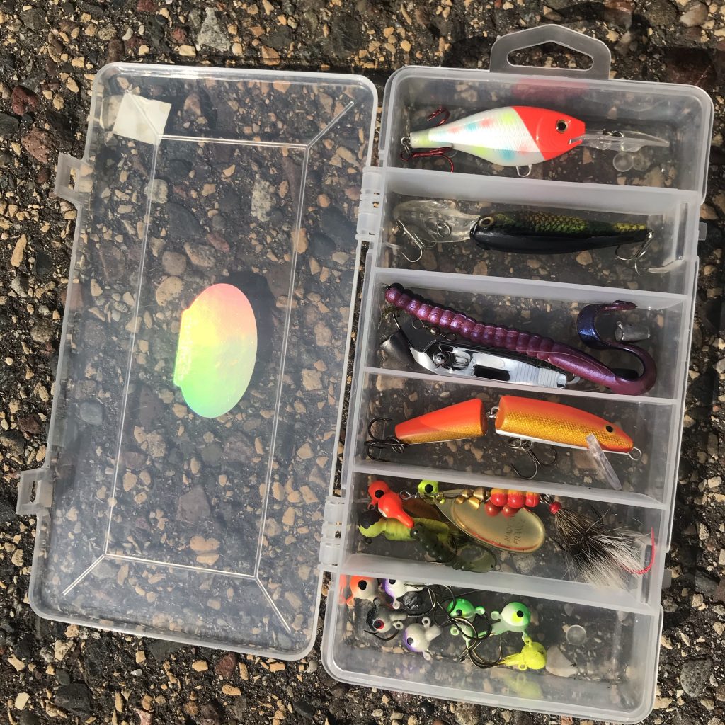
When I’m fishing while paddling, I keep a very small tackle box on the boat with me, and that is also perfect for local fishing by bike.
Usability tips
Riding around with 6-foot fishing poles is like riding around with a whip antenna – it’s real tall. Just beware of any low tunnels or doorways, tree branches, etc.
Also, you’re not going to be able to put a leg over the back like you normally would. A pole (and hooks) will prevent you from doing that. Be mindful while you’re getting on and off.
I (perhaps stupidly) tried out the purple worm seen in my tackle box above – set up as a Texas Rig. I felt some serious bites, but I didn’t land anything. In the end I’m lucky because I didn’t bring a net if I actually had caught a tenacious bass.
While I didn’t bring one, you could certainly put a net in one of the holders. This is more of a catch-and-release type of rig, and I wasn’t planning on any big bites my first time out, just a couple of sunfish 🐟
With all the other news of the global Coronavirus pandemic, police killings, and riots, I want to take a moment to make sure a important local story doesn’t get lost.
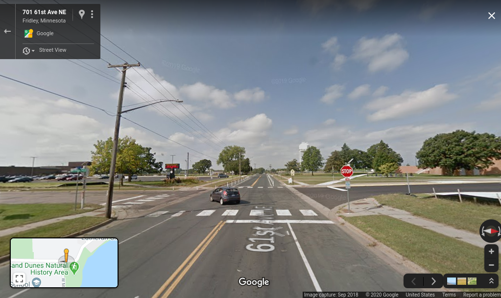
It was recently brought to my attention that Duron Jr. has died. This apparently happened at the end of April, but I just found about it last week. This young man was only in the 5th grade when he was struck by an SUV while crossing 61st from Fridley Middle School to the Fridley Community Center.
Next the city took down the (useless) plastic fences and erected bollards on the road to keep cars from passing each other on the shoulder.
I wondered how long they’d be there, and I now know Fridley has bollards as one of the tools in its toolboxes for testing changes without doing anything permanent.
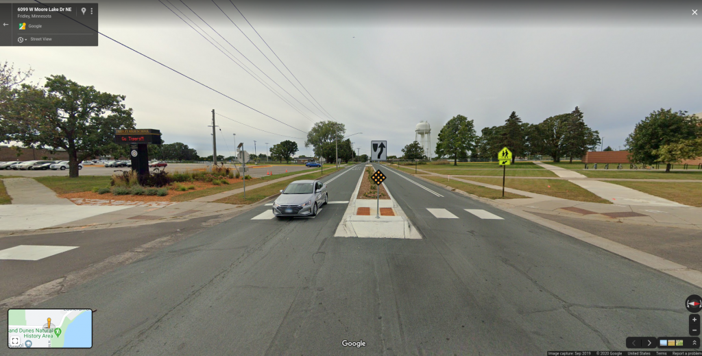
Then throughout 2019 the city took action to apply more treatment to the 61st. Ave. They added a median with a pedestrian refuge to give pedestrians a little more priority at the intersection.
There is now a marked bike lane on both shoulders as parking was never allowed there previously. And there’s double white-striped paint to reinforce that passing is not allowed.
61st is a city-owned street. No county or state policies or politics stand in the way of making the street safe for everyone. I’m glad they took what was relatively swift action for a government agency.
But why do we wait until someone is struck by a vehicle – so severely that they risk death – to take action?
As car-loving Americans, we tend to have this have our cake and eat it too mentality when it comes to roads. Do we want safety? Yeah, sure, but dammit I’ll bitch to the mayor if I had to wait a minute longer in my car while dropping my kid off at school.
This last part is an unknown – I don’t know what the answer is right now, but I intend to find out. Sadly almost all of our government agencies, from city to federal, aren’t set up to proactively address problems in our built environment until somebody dies.
Will the crash that ended Duron’s life be recorded as a fatality? He sustained his injuries for over two years. But undoubtedly he would still be a thriving young student if he wasn’t struck that day.